
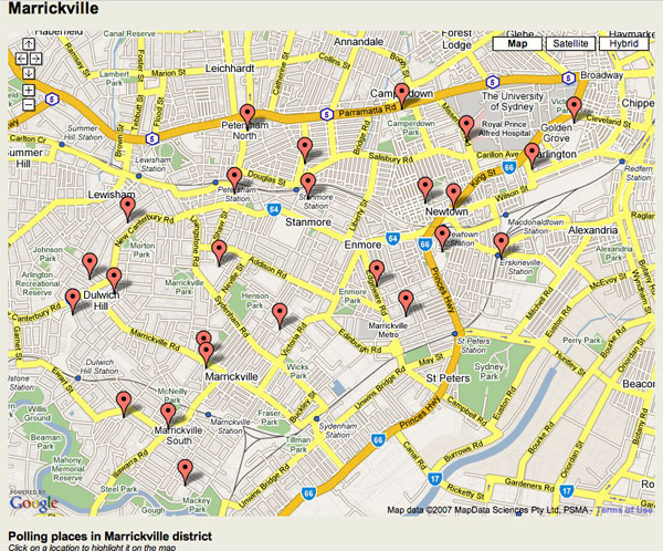
The NSW Electoral Commission has great interactive maps so you can find your local polling booth for 24 March. But they’re based on Google Maps. So as Richard Chirgwin points out, the mapping data is licensed in a very roundabout way.
The NSW Government street data is licensed to PSMA (the public sector mapping agency), which is then licensed to MapData Sciences, which is then licensed to Google Maps which is then licensed back to… the NSW Electoral Commission.
“We are surrounded by cretins,” Richard says. I tend to agree.
Though the defence is obviously that Google Maps provides a nice, convenient interface for programmers to use.